
Watson Falls Hiking Trail Guide
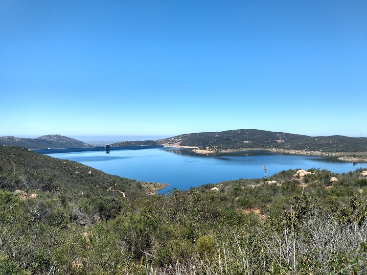
With almost one million acres of forest (983,129 to be exact), Umpqua National Forest is one place that doesn’t disappoint. The forest stretches from just north of Crater Lake National Park and spans to the western edges of the southern Cascade ranges. Within its boundaries are an abundance of culture, lakes, waterfalls, enchanting forests, and snow-capped volcanic domes.
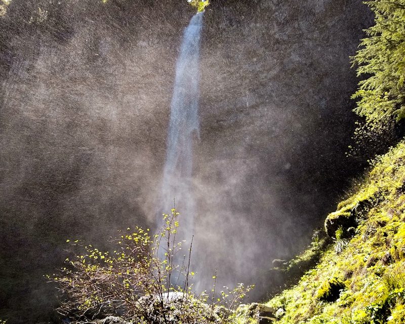
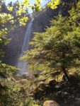
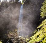
This short and heavily trafficked hike will take hikers up a slight elevation gain to the 293 foot Watson Falls. The vertical height of the fall is the highest in southwest Oregon. The waterfall is just one of many others located along the Rogue-Umpqua National Scenic Byway. This scenic highway travels through the heavily forested Southern Cascade ranges and is 172 miles long. This particular waterfall is off of the beautiful Highway 138.
Watson Falls is fed by the Watson Creek which drains a nearby portion of the mountains. The creek flows into the Clearwater River which ultimately leads to the North Umpqua River. This waterfall plunges from the ledges of volcanic rock that helped to form the area almost one million years ago. The base of the falls is lined with green moss. Flow of the fall is year-round but stronger during the spring and early summer.
On A Personal Note:
Although there is no camping located here, there are several picnic tables located in the area. I was actually surprised to find out that the waterfall is as tall as it’s mentioned. There is a fair amount of mist that comes down where the trail terminates. This makes taking pictures if the sun is directly overhead quite difficult. Early morning before the sun comes up over the river canyon or towards the end of of the day when the sun is behind you is the more photogenic time of day for the falls.
There are two main viewpoints for this hike: a lower and upper area. The lower one gives a view of a nice wooden footbridge that looks out to the falls. From this point you’ll also see a short little cascade leading down along Watson Creek in front of the falls. The upper viewpoint will be closer but wetter from the mist of the fall.
Looking for two other short waterfall hikes in the area? Try Clearwater or Whitehorse Falls. These two falls have short trails and even camping options.
Do you have any updates to the hiking trail or want to share your hike/pictures? Please leave a comment below.
Sources:
1. N.a. “About The Forest.” Umpqua National Forest. United States Department of Agriculture Forest Service. https://www.fs.usda.gov/main/umpqua/about-forest. Accessed 1 June 2020.
2. N.a. “Watson Falls Trailhead.” Umpqua National Forest. United States Department of Agriculture Forest Service. https://www.fs.usda.gov/recarea/umpqua/recarea/?recid=63654. Accessed 10 July 2020.
3. N.a. “Watson Falls Trail #1496.” Umpqua National Forest. United States Department of Agriculture Forest Service. https://www.fs.usda.gov/recarea/umpqua/recreation/recarea/?recid=63652. Accessed 10 July 2020.
- Overall Difficulty: 35%
- Overall Views: 100%
Watson Falls Trail Quick Facts:
- Max Elevation: 3,320 feet.
- Elevation Gain: 524 feet.
- Estimated Distance: 1 mile.
- My Actual Distance: 0.8 miles.
- Estimated Time: 30-90 mintes.
- My Time: 22 minutes moving; 28 minutes total.
Watson Falls Trail Directions:
Watson Falls Trail Pictures:
-
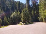
- The small parking lot. It was empty for us but nearly full by the time we left.
-
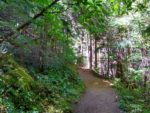
- Leading up towards the falls.
-
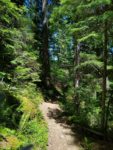
- A sunnier patch of the trail.
-
- One of the first views of the fall from lower down on the trailhead.
-
- This part of the trail is quite misty and the position of the sun made for some bad photos.
-
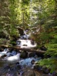
- A view looking up Watson Creek as it comes down the volcanic canyon.
Who Watson Falls Trail Is For:
Advanced Hikers: This is not a physically demanding hike but it’s worth the short trek for a view of the tallest waterfall in the region.
Expert Hikers: While this isn’t a physically demanding hike it’s still a great view.
It’s always a good idea to be aware of what type of hiking level you’re at.
Best Time Of Year To Hike Watson Falls:
Late spring to early summer is probably the best time of year to view these falls not only for weather reasons but it’s also when the creek is at its highest levels. Spring and early summer is when new growth is abounding from the plants. All that being said, don’t let the seasons stop you from visiting this waterfall.
It’s always a good idea to check the weather prior to hiking.