
Hiking Whitehorse Falls Trail
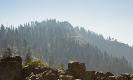
With almost one million acres of forest (983,129 to be exact), Umpqua National Forest is one place that doesn’t disappoint. The forest stretches from just north of Crater Lake National Park and spans to the western edges of the southern Cascade ranges. Within its boundaries are an abundance of culture, lakes, waterfalls, enchanting forests, and snow-capped volcanic domes.
The Whitehorse Falls trail is located along the Rogue-Umpqua National Scenic Byway. This scenic highway travels through the heavily forested Southern Cascade ranges and is 172 miles long. Whitehorse Falls is one of the many waterfalls that are of easy access off this highway. This particular waterfall is off of the beautiful Highway 138.
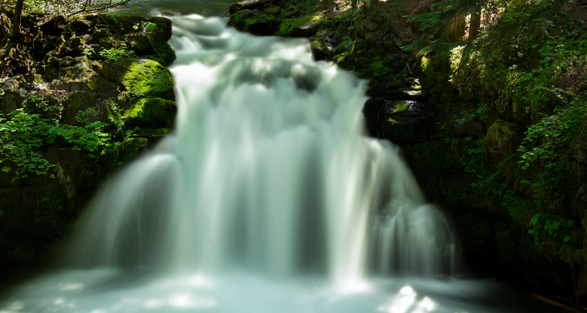
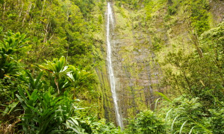
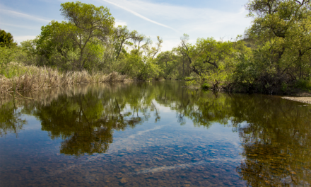
Whitehorse Falls is fed by the Clearwater River which originates in the higher elevations of the cascades from abundant rain and snowfall. This waterfall plunges approximately fifteen feet in height into a blue punchbowl. The flow of this waterfall flucuates seasonally more than it’s eastward neighbor, Clearwater Falls but it does flow year round.
White Horse Falls Camping Information
This waterfall is a great area to camp. A total of five campsites with with two separate picnic sites are available for day use. There are two vault toilets in the area. There are no reservations available. Camping is on a first come first served basis. For full camping information please visit the Umpqua National Forest site.
On A Personal Note:
Whitehorse Falls was my second encounter with one of the many waterfalls along Highway 138. The trail is very short and is even handicapped accessible. Highway 138 is one of the most beautiful drives I have done and I highly recommend it if you have the time.
Looking for a springfed fanning waterfall surrounded by moss covered rocks and trees? Try the nearby Clearwater Falls along the same river.
Do you have any updates to the hiking trail or want to share your hike/pictures? Please leave a comment below.
Sources:
1. N.a. “About The Forest.” Umpqua National Forest. United States Department of Agriculture Forest Service. https://www.fs.usda.gov/main/umpqua/about-forest. Accessed 1 June 2020.
2. N.a. “Whitehorse Falls Campground.” Umpqua National Forest. United States Department of Agriculture Forest Service. https://www.fs.usda.gov/recarea/umpqua/recarea/?recid=63656. jAccessed 1 June 2020.
- Overall Difficulty: 5%
- Overall Views: 100%
WhitehorseFalls Trail Quick Facts:
- Max Elevation: 3,766 feet.
- Elevation Gain: 43 feet.
- Estimated Distance: 0.1 miles.
- My Actual Distance: 625 feet.
- Estimated Time: 10-15 minutes.
- My Time: 3 minutes moving; 8 minutes total.
Whitehorse Falls Trail Directions:
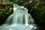
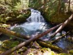
Whitehorse Falls Trail Pictures:
Who Whitehorse Falls Trail Is For:
Advanced Hikers: This is not a physicallly demanding hike but the views are worth ten minutes of your day.
Expert Hikers: Expert hikers may enjoy using this camping area as a base for other hikes in the area.
It’s always a good idea to be aware of what type of hiking level you’re at.
Best Time Of Year To Hike Whitehorse Falls:
Late spring to early summer is probably the best time of year to view these falls not only for weather reasons but it’s also when the river is at its highest levels. Spring and early summer is when new growth is abounding from the plants. During this time of year the forest looks a crisp green with bright green moss carpeting the forest floor. All that being said, don’t let the seasons stop you from visiting this waterfall.
It’s always a good idea to check the weather prior to hiking.