Double Peak Hiking Trail Guide
One of the characteristics of San Diego is that it clearly distinguishes it’s northern geographical location from the rest of the county. Unless you’ve been in San Diego for anything less than five minutes, you’re well aware of “North County.” If there had to be one peak that compares to the popular Cowles’ Mountain, Double Peak would be it. Located in San Marcos, this wildly comparable peak is what I would call the Cowels’ Mountain of North County.
Double Peak is a chaparral covered peak typical to that of Southern California’s inland valleys. The prominence of this peak rises 1,646 feet behind Cal State San Marcos and can be seen from all North County communities. From the top of Double Peak, Palomar Mountain will stretch across the horizon to the east. Other notable peaks of interest include: San Gorgonio, Sitton Peak, San Jacinto, Mount Woodson, and Iron Mountain. On a clear day Batiquitos Lagoon, Catalina, San Clemente, and the Coronado Islands in the Pacific Ocean can be seen in the far distance.
There are several ways to hike this trail, some more difficult than the others. This trail guide focuses on the trailhead that begins at Discovery Lake at Double Peak’s northern base. The lake offers simplistic waterfront views as well as the opportunity for scant freshwater fishing. Atop Double Peak is a city run park as well as a parking lot and viewfinder of nearby places in the distance. Fishing is allowed only from the shoreline or dock. No boats of anykind are allowed including kayaks or rafts. For full fishing regulations and more on Discovery Lake, please visit the official webpage.
On A Personal Note:
Cowels Mountain vs. Double Peak? Cowles wins this one by a longshot. This trail leads up from Discovery Lake into a gated community. About a third way through the hike is when the trail finally leads into the chaparral covered hills. As the trail leads out of the community a look to the east will still show the burn scars from the 2014 Cocos Fire.
The very last portion of the trail opens up directly on to Double Peak Drive. This drive is a heavily trafficked by both vehicle and bicycle. The road leads directly to Double Peak Park that leads directly to Double Peak Park. It was disappointing to learn that the top is drivable. I was also not a fan of how fast the cars speed down Double Peak Drive will walking on the side of the road.
- Overall Difficulty: 50%
- Overall Views: 40%
Double Peak Trail Quick Facts:
- Estimated Distance: 4.4 miles.
- My Distance: 4.3 miles.
- Mx Elevation: 1,646 feet.
- Elevation Gain: 943 feet.
- Estimated Time: 1.5-3.5 hours.
- My Time: 2 hours 5 minutes moving; 2 hours 10 minutes total.
Double Peak Trail Directions:
Double Peak Trail Pictures:
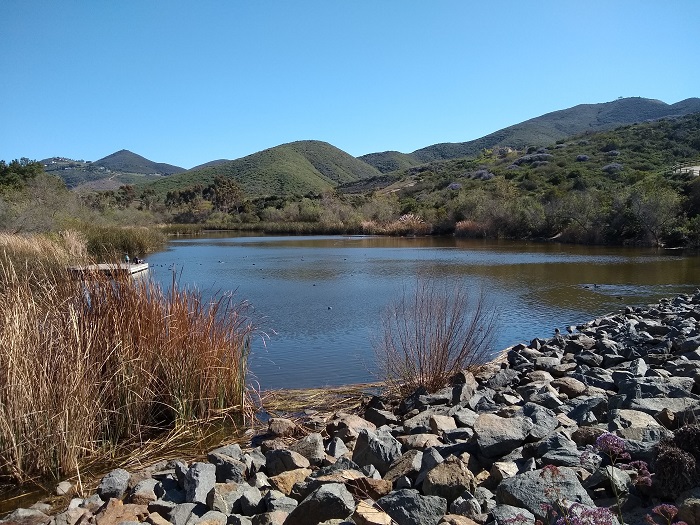
- A view of the tiny Discovery Lake from alongside the trail.
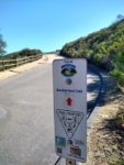
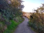
- The first portion of the trail is paved. Signs are clearly makred.
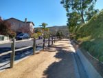
- Follow the trail through the gated community above Discovery Lake.
- The trail is an old access road. The view here looking at the trail cutting through the side of double peak.
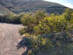
- The north side of the trail has the most shade and cooler temperatures. Hence the larger chaparral. This is the only portion of the trail with any shade but it depends on
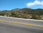
- Double peak in the backdrop with a use trail cutting up the ridge above the road.
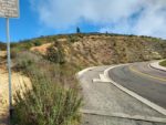
- You can either hike the ridge line to the top or take the road.
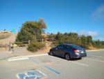
- The parking lot atop Double Peak.
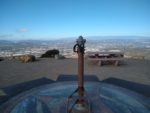
- The viewfinder pointing out prominent places of interest. Looking north towards Palomar Mountain with San Gorgonio and San Jacinto in the far back.
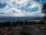
- Looking to the east – Mount Woodson, Iron Mountain, and Cuyamaca Peak in the far distance.
- Batiquitos Lagoon and the Pacific Ocean in the distance.
Who Hiking Double Peak Is For:
Advanced Hikers: Those who fall under this category will likely be disappointed with the lackluster amount of nature along the trail.
Expert Hikers: Same as advanced hikers.
It’s always a good idea to be aware of what type of hiking level you’re at.
Best Time Of Year To Hike Double Peak:
During the summer, exceptionally hot days should be avoided on this trial. However, the distance is mild enough to do quickly in the cooler hours during dawn or dusk before the day heats up. There is very little shade along the path with the only exception being the north side of the peak.
It’s always a good idea to check the weather prior to hiking.
Double Peak Trail Conditions:
The trail begins right where Discovery Lake is. This is a small man made reservoir that is stocked with fish. Fishing is only allowed from the shore or dock. From here the trail leads up a roughly paved road into the Stone Canyon community. This portion of the trail is rather uneventful. The trail eventually leads out of the community. Please keep in mind that this is a neighborhood where people live so be respectful.
As the trail leaves the housing area it will lead past a water tower. The pavement will be left behind for a utility road that leads up the north face of double peak. This portion of the trail will be your best shot at viewing the coastal chaparral as well as any wildlife viewing opportunities. Enjoy it because it’s rather shortlived. Before the trail curves across the ridge of Douple Peak the burn scars from the 2014 Cocos Fire will be visible.
The utility road empties out on to Double Peak Drive. From here there are two options to getting to the top. The first option is to just walk along the road to the parking lot at the top. This option is slightly longer but a more gradual elevation gain. The shorter option is a use trail cut out into the ridge above the road that leads directly to the top of Double Peak and through the San Elijo Hills community. Enjoy the panoramic views from the top then decide if next time you’d rather drive to the top.
A word of caution: Cars do travel a bit fast coming down Double Peak Drive. Use cuation when walking on the side of the road here.

