Visiting Death Valley sometime soon? The entire area spans thousands of miles making it one of the largest National Parks in the United States. There is everything from snow capped peaks to one of the hottest and lowest places on the planet in it here. Death Valley has a lot to offer and everything from expert hikers to new beginners will find something to do here. To keep things simple, here is a list of simple and quick yet absolutely beautiful and stunning things to do in Death Valley. A layout of their location as well as directions can be found in the map below.
Eleven Simple Things To Do In Death Valley National Park
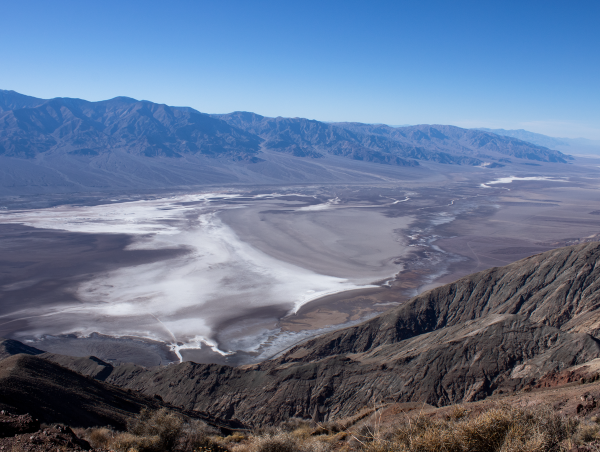
Dante’s View
Although not the tallest point in the Black Mountains, Dante’s View is the easiest to access. This viewpoint is reachable by a short drive and peers 5,575 feet into Badwater Basin below. Star Wars fans may recognize this view as the overlook into the Mos Eisley Spaceport on Tatooine. The adjacent mountains are the Panamint Range, the highest point in Death Valley. On a clear day the tallest point in North America can be seen to the northeast far behind the Panamint Range: Mount Whitney.
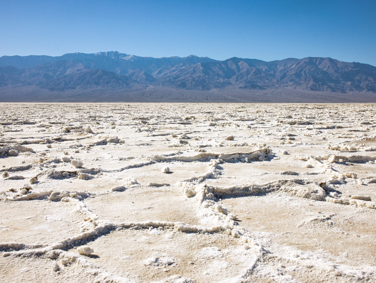
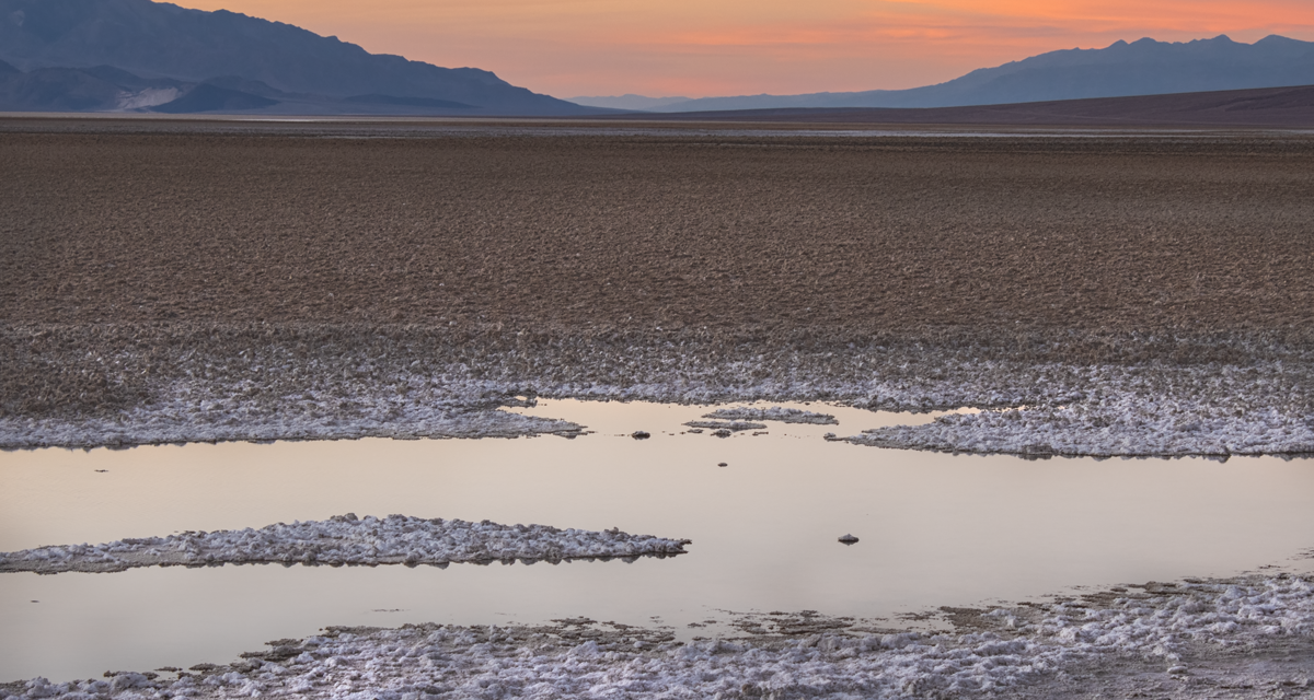
Want a closer look of what Dante’s View peers down into? Check out Badwater Basin. This sprawling area of salt flats features the lowest place in North America as well as one of the hottest places on the planet. The large salt flats here are the results of a large and former lake tens of thousands of years ago. Today additional salt is added by underground water evaporating from springs fed from the higher elevations. The evaporating salt leaves behind polygon shapes across the dry lake bed. Badwater Basin is also a great place to watch the sunset over the Panamint mountain and see the colors change across Death Valley.
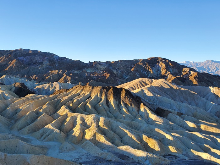
This is one of the most popular destinations near the heart of Death Valley. It has good reason to be. The colors here are simply astounding. Left over volcanic mud flows meet volcanic mountains. The views here look down into the very beautiful Golden Canyon. Across the way the tallest point on the Panamint Range, Telescope peak can be seen. Zabriskie Point is beautiful no matter what time the day is but it is especially stunning during sunrise or sunset.
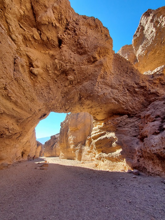
The mountains that border Death Valley are lined with deep canyons formed from thousands of years of flash floods. This short hike near the Badwater Basin features a natural bridge carved out by violent floods. As the trail leads up a wash, evidence of prior floods will be visible throughout the canyon in the form of dry waterfalls.
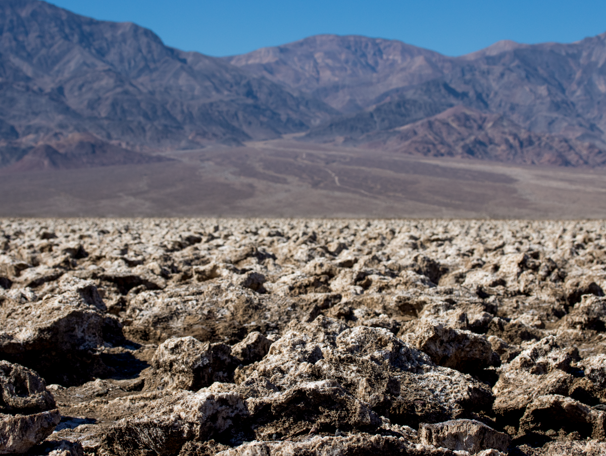
Devil’s Golfcourse
It looks as it sounds and sounds as it looks. No grass. No water. Hard dry soil. Just north of the salt flats of Badwater Basin is this sprawling area of jagged and eroded salt. On a hot day popping sounds can be heard from salt crystals bursting from the heat. There are no trails here but the spot is an interesting place to stop.
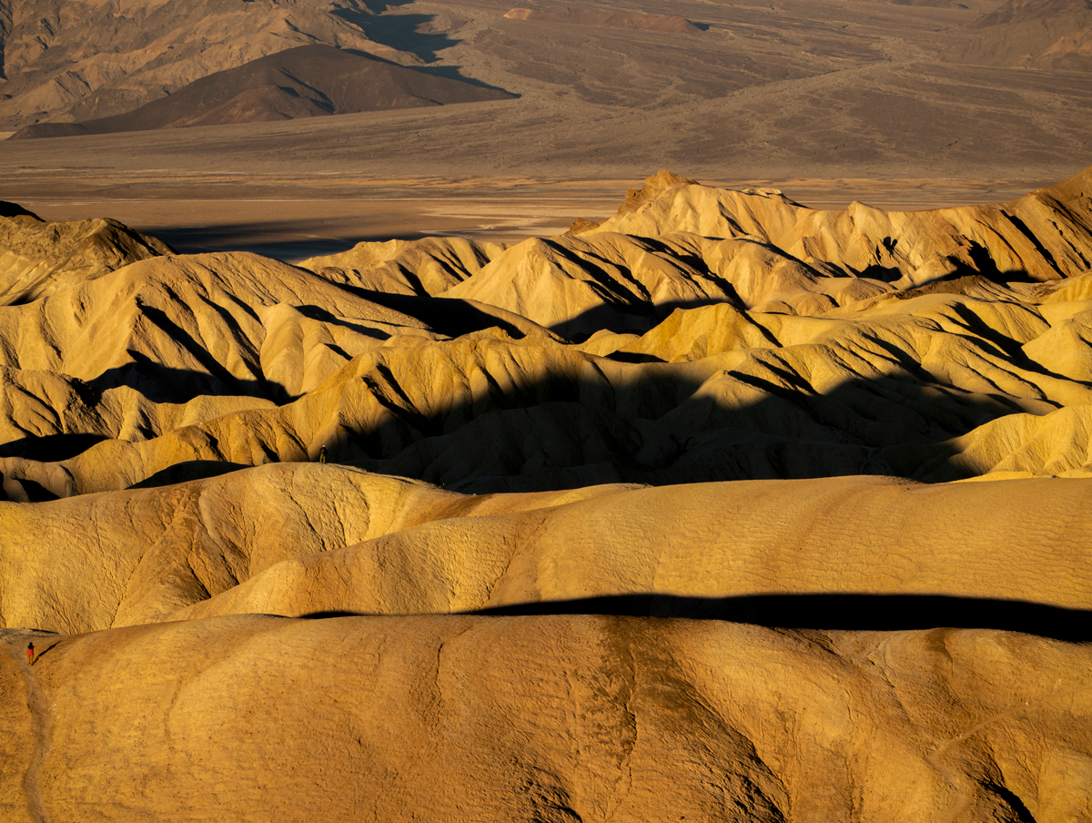
Golden Canyon is as beautiful as it sounds and as it looks. This view of Golden Canyon is during the soft light of the sunrise as seen from Zabriskie Point. There is a system of trails that can be hiked through here as well. The trails are suitable for beginners to advanced hikers (expert hikers will probably find these trails not challenging enough). The colors of these hills are a variety of red, orange, golden, and brown hues. The trail system can be accessed from either Zabriskie Point or the main trailhead off of Badwater Basin Road.
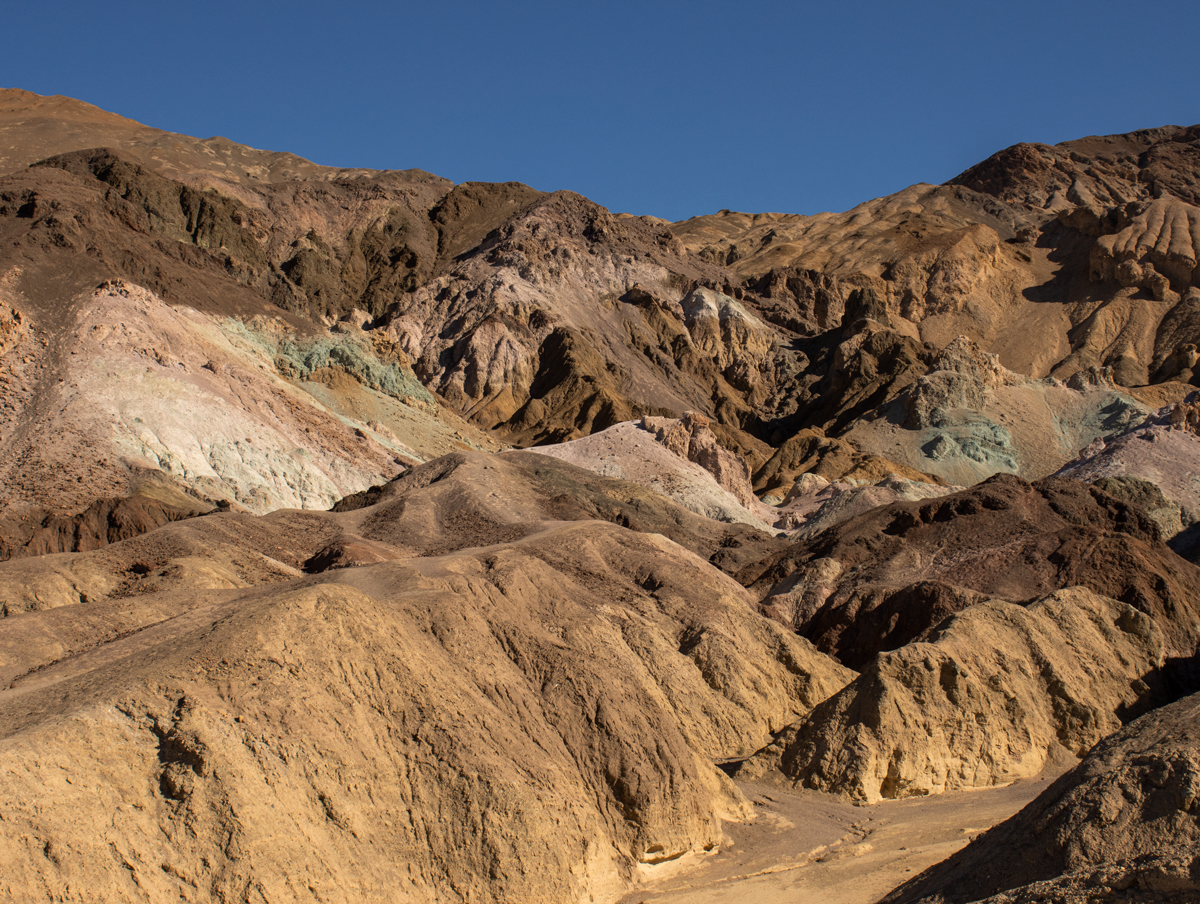
Artist’s Palate
Tucked in the foothills of the Black Mountains is a short one way road called Artist’s Drive Loop. This drive features colorful hills painted a variety of colors of pink, orange, red, and blue. The colors are caused by minerals left behind from previous volcanic eruptions. One of the most colorful times of day to visit this area is during sunset. During the sunrise this area is in a shadow cast by the mountains above.
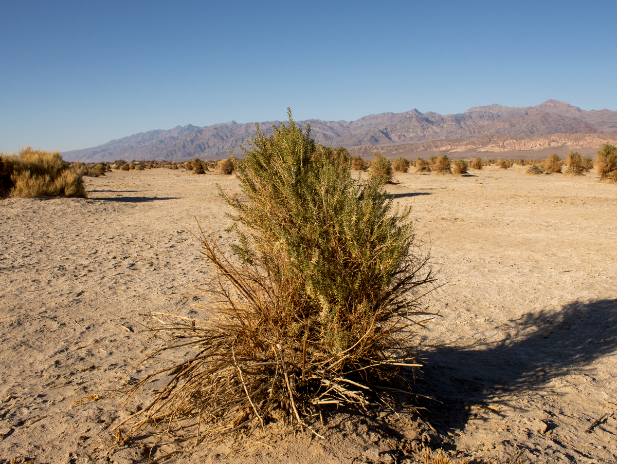
Devil’s Cornfield
Just east of the beautiful Mesquite Flat Sand Dunes sits a large area of awkward and shaggy looking bushes. These bushes are known as arrowweed and despite the harsh environment stay green year round. Native Americans used the plants to make arrows. Some of these plants are as tall as a human and almost three times that in width. I guess the person who coined the name to this place thought Satan himself put his own touch on these plants.
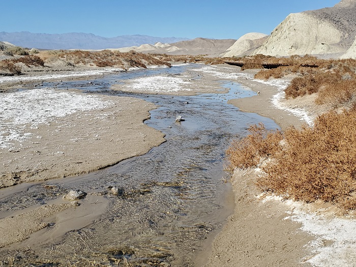
You probably weren’t expecting a major source of water in the middle of Death Valley, were you? This creek is fed by springs from snowfall and rains that fall in the Panamint Range during the winter months. The best time to view the spring is during the winter and into spring, otherwise it will be evaporated by the heat. The water here is high in saline but supports a wide variety of life including the native, pupfish.
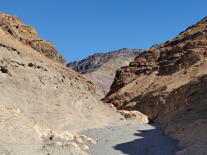
Another short hike to do near death valley is Mosaic Canyon. This canyon is on the north end of the Panamint Range and leads about two miles in before the trail terminates. The trail features beautiful reddish/orange jagged canyon walls as well, polished marble walls, and dry falls from past flooding events. This trail is conveniently located near the Mesquite Flat Sand Dunes and the small village of Stovepipe Wells.
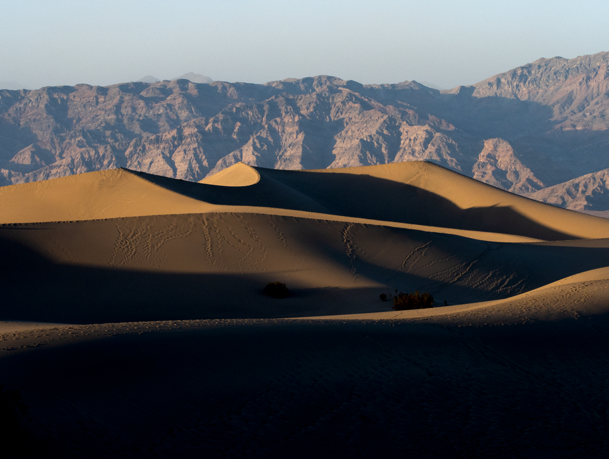
My favorite place in Death Valley is the Mesquite Flat Sand Dunes. These sand dunes span fourteen miles and are located next to Stovepipe Wells. There are no trails here but you can hike out into the dunes as far as you want. Most people don’t venture out more than a couple of miles. If you truly want solitude, it can be found here as hiking in sand isn’t the easiest. In my opinion, the dunes are the best place to watch the sunset. As the evening approaches the sun will cast shadows across the dunes and the surrounding area will pop with pastel hues.

