Hiking McCloud Falls Trail
Of all the places I’ve visited in California, the area surrounding Mount Shasta is at the top of the list for me. With all the area has to offer such as glacier topped volcanoes, pristine forest, and dozens of lakes, rivers, and waterfalls, what’s not to love about it? Initially established by President Roosevelt in 1905, there are now over 2.2 million acres of protected land in the Shasta-Trinity National Forest.
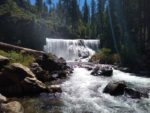
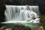
The McCloud Falls trail sits to the southeast of Mount Shasta. The hike is a 3.5 mile trail that skirts along the McCloud River and features three stunning waterfalls. Lower falls is the shortest at fifteen feet with the upper fall being twenty-five feet. The middle fall is what draws many people to the area at over fifty feet tall and about double that in width. Altogether the McCloud River flows for 77 miles from near Dead Horse Summit in the east to Shasta Lake in the west. The river flows year round and is spring fed through abundant annual rain and snow that makes its way through porous basalt volcanic rock.
In addition to three beautiful waterfalls, the area can be a playground for other activities including fishing, hunting, swimming, camping, and winter hiking activities. Hikers can chose to visit each waterfall separately or follow the trail along the McCloud river along the full 3.5 miles. For those seeking more adventure there’s an additional thirteen miles of trails to explore along the McCloud River as well.
On A Personal Note
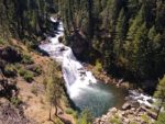
We only had a short amount of time to spend here while traveling from Burney Falls to Crater Lake National Park in Oregon. This actually makes a perfect pit stop along the way to get out and stretch the legs. With the time constraint, we only had time to hike the middle falls pictured here. I would love to go back and see the other two falls some day. An Adventure Pass or America The Beautiful Pass is required when visiting this area.
With the abundant water in this area, wildlife viewing opportunities are plentiful. Large mammals from deer to mountain lions and bears can be seen. We came across a couple of deer that wouldn’t budge and were no more than ten feet off the trail. Camping options are available here at Fowler’s Campground. Please see the trail direction’s tab for more information.
Do you have any updates to the hiking trail or want to share your hike/pictures? Please leave a comment below.
- Overall Difficulty: 65%
- Overall Views: 100%
McCloud Falls Trail Quick Facts :
- Elevation: 3,201 feet.
- Elevation Gain: 354 feet.
- Estimated Distance: 3.5 miles.
- My Actual Distance: 1.0 miles (only Middle Falls).
- Estimated Time: 30-60 minutes.
- My Time: 45 minutes.
McCloud Falls Trail Directions:
Camping options are available near this area at Fowler’s Campground. There are both reservations and first come/first serve spots available. Please see the National Forest website for more information on obtaining a campground reservation.
McCloud Falls Trail Pictures:
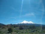
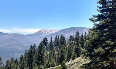
- A view of the beautiful snow capped Mount Shasta from the parking lot.
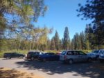
- The small parking lot to middle McCloud Falls.
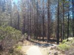
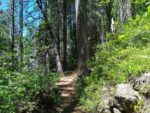
- Leading away from the parking lot to the viewpoint.
- Looking down to the waterfalls and to the middle fall.
- Headed parallel to the river before heading down the river gorge.
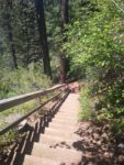
- A well-maintained staircase that leads down to a foot path along the river.
- Insert quote here.
- Beauty at its finest.
Who McCloud Falls Is For:
Advanced Hikers: This trail has a lot ot be desired for just over three miles of trails. Not many hikes have three waterfalls in such a short distance. Advanced hikers will find the short duration and small amount of elevation gain relatively easy.
Expert Hikers: For those who are looking for more of an adventure or to “get lost” so to speak, there is a thirteen mile long trail that follows the McCloud Trail from this area.
It’s always a good idea to be aware of what type of hiking level you’re at.
Best Time Of Year To Hike McCloud Falls:
It’s always a good idea to check the weather before heading out on a hike.

