
Foster Point Trail
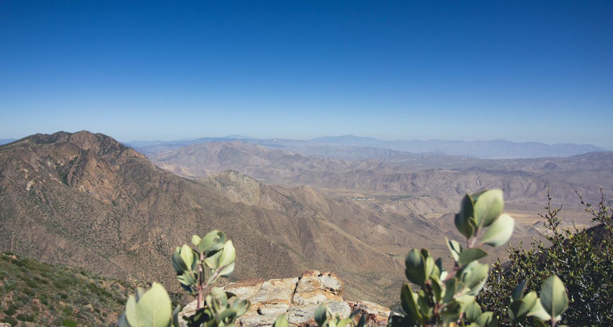
If one is looking for short trails with rewarding views, Foster Point in Mount Laguna is a perfect option. This short trail takes hikers out of the shaded forests of Mount Laguna to a viewpoint that looks out onto Anza-Borrego Desert. At this spot hikers will notice the transition from a Mediterranean mountainous climate to the western Sonoran Desert. Immediately to the northwest of Foster Point sits Garnet Peak, another popular hike in the area. This hike can also be paired with Monument Peak wish lies a couple miles to the southeast. This peak will be clearly marked with numerous antennas and a radar station.
This specific area is managed by the Cleveland National Forest. Therefore an Adventure Pass or an America The Beautiful Pass are required. Foster Point is just a short distance off the popularized Pacific Crest Trail. The point offers impeccable views of a canyon which descends a couple thousand feet below and out into the Anza-Borrego Desert. A peak finder installed by the Sierra Club points out over a dozen prominent Southern California mountains which are view-able from here including Palomar Mountain, Cuyamaca Peak, Stonewall Peak, San Gorgonio Mountain, and San Jacinto Mountain.
On A Personal Note:
I really do love the view from Foster Point. On a clear day the Salton Sea can distinctly be made out as well as the the prominent peaks of San Jacinto and San Gorgonio. What’s interesting to me is the how visible the battle between the desert and coastal climates are. In the span of a few hundred hards forests give way to low lying manzanita parched from the dry desert air below. For a longer hike, I recommend coupling this with some other trails in the area like Monument Peak or completing a full eight mile loop that travels past the Little Laguna Lake.
Have you recently done this trail? Please share any updates to the trail conditions or post recent pictures in the comments below.
- Overall Difficulty: 25%
- Overall Views: 90%
Foster Point Trail Quick Facts :
- Elevation: 5628 feet.
- Elevation Gain: 75 feet.
- Estimated Distance: 1.3 miles.
- My Distance: 1.39
- Estimated Time: 30-60 minutes.
- My Time: 55 minutes total; 36 minutes moving.
Foster Point Trail Directions:
Foster Point Trail Pictures:
-
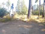
- The small dirt parking lot to mark the trailhead.
-
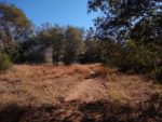
- The first part of the trail is an old jeep road.
-
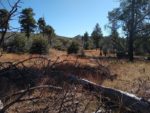
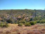
- Looking out into the meadows.
-
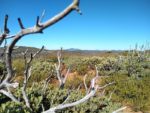
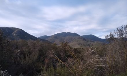
- THe conifer meadows quickly give way to a manzanita covered landscape. Stonewall and Cuyamaca Peak.
-
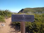
- Where the trail to Fosters Point shoots off from the PCT.
-
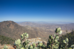
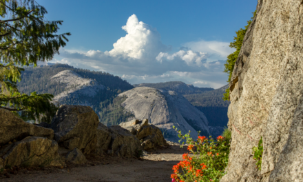
- Looking north from Fosters Point towards San Gorgonio and San Jacinto.
Who Foster Point Loop Trail Is For:
Advanced Hikers: It’s a bit short to feel like any sort of work was done. My suggestion is to explore several other short trails in the area such as Garnet Peak. Other options include the Monument Peak and Foster Point Loop Trail.
Expert Hikers: For expert hikers, Foster Point makes a nice addition to hiking the Mount Laguna or San Diego portion of the Pacific Crest Trail.
It’s always a good idea to be aware of what type of hiking level you’re at.
Best Time Of Year To Hike Foster Point Trail:
It’s always a good idea to check the weather before heading out.
