Hiking Oak Canyon In Mission Trails Regional Park
Mission Trails Regional Park (MTRP) is without a doubt synonomous with Cowles Mountain. Which can be unfortunate as there are over seven thousand acres of open land. MTRP is the sixth largest city managed park in the United States and features five main peaks and over sixty miles of hiking trails. Oak Canyon originates along the park’s northeast section of the park in the shadow of North Fortuna.
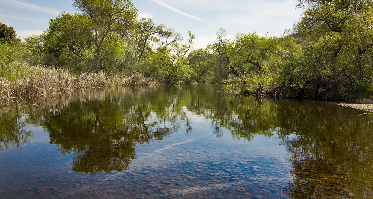
The beauty in Oak Canyon lies in that it’s home to a seasonal creek that feeds into the nearby San Diego River. With the winter rains this canyon comes alive and even features a small waterfall. To nobody’s surprise, the canyon is home to many oak and other varieties of trees. Oak Canyon originates in the higher valleys behind Scripps Ranch near Ramona. At the base of the canyon is an annual creek that runs from its origin, through the back of MCAS Miramar, and into the San Diego River in MTRP.
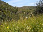
The short waterfall can make for a nice spring hike. Adjacent hills in the area also come alive with many wildflowers such as the California Poppy. Even during the summer the canyon trees can offer some refuge from the constant Southern Californiia sunshine. Some of San Diego’s valley animals can also be viewed here such as birds, coyotes, rabbits, deer, and even an occasional bobcat or a rare mountain lion.
Oak Canyon and Old Mission Dam
There are several ways of which to enter Oak Canyon. This trail guide will focus on hiking Oak Canyon through the Old Mission Dam entrance near the Kumeyaay Lake Campground. Another popular entrance to Oak Canyon is along the Grasslands Loop in the East Fortuna Staging Area. However, the Grasslands loop skips the Old Mission Dam which is a wonderful part of hiking along Oak Canyon.
The Old Mission Dam is a rich part of San Diego history with Spanish origins. The popular missionary, Father Junipero Serra established a settlement and mission in the late 1700’s. The San Diego River was an important source of water to the nearby missionaries. After a severe drought lasting a few years, a dam was constructed to help provide water throughout the year. Work on the dam began in 1803 after a few years and its entirety was completed by 1817. Over the decades the dam has gone through a few reconstruction projects. Today the dam is a registered National Landmark,
Hikers can enjoy views of the Old Mission Dam by beginning the hike to Oak Canyon from the Kumeyaay Campground. During wet years water tumbles over the dam’s edges along the San Diego River. The pond behind the dam attracts a variety of wetland birds. From there follow along the trail across the San Diego River and into Oak Canyon.
On A Personal Note:
Oak Canyon is mild compared to other trails in the Mission Trails Regional Park area. The short route is a great late winter and mid-spring hike. The surrounding area comes to life after winter rains. In a good rain year, the furthest portions of the creek will have a small waterfall. Although this hike is through the park’s lowest area in elevation, some prominent peaks such as and South and North Fortuna Peaks can be seen from the trial. Overall views are highly dependent on the time of year.
Looking for a similar hike?
Check out the nearby Father Junipero Serra Trail. This 4.5 mile trail is a paved hike through the heart of Mission Gorge and above the San Diego River. The father Junipero Serra Trail is a great option for those with strollers. During the fall the deciduous trees along the river put on a nice display of fall colors.
Have you recently done this hike? Please post your photos in or leave an update to the trail conditions in the comments section.
- Overall Difficulty: 40%
- Overall Views: 60%
Oak Canyon Trail Quick Facts:
- Estimated Distance: 2-4 miles.
- My Distance: 1.4 miles.
- Total Elevation: Approximately 350.
- Elevation gain: Approximately 100 feet.
- Estimated Time: 1-3 hours.
Total distance depends on the route taken. Taking the route from Kumeyaay Campground past the Old Mission Dam through Oak Canyon and back is the longest. Elevation gain is minimal. My route varies because I did this coming down from the Fortuna Peaks as part of the MTRP Five Peak Challenge.
Oak Canyon Trail Directions:
Open in maps. Trail access is very simple. Park at the MTRP parking lot on Father Junipero Serra Trial. The trail is actually a road that runs through the park. This parking lot is gated and composed of dirt. The gates open at 8am but close at 5pm from November to March and 7pm from April-October. Parking can also be done alongside Father Junipero Serra Trail closer to the Old Mission Dam. The road is also gated with the same hours. If you want to hike outside of the posted hours, park outside the gate along the street of Junipero Serra Father Trail. There is plenty of street parking space.
Oak Canyon Trail Pictures:
- A look up the San Diego River and small pond from standing on the Old Mission Dam.
- Looking out on to the Old Mission Dam from near the Kumeyaay Campground.
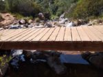
- There is a small bridge near the dam that allows the river to be crossed. This is looking out onto the other side of Old Mission Dam.
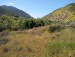
- Heading into Oak Canyon – South Fortuna on the right and Kwaay Paay Peak on the left.
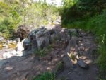
- Near one of the banks of the creek in Oak Canyon.
- One of the many bridge crossing in Oak Canyon.
- Spring is a great time to hike this trail. There are many varieties of wildflowers including the California Poppy.
- Heading up out of the southern side of Oak Canyon that leads to the Old Mission Dam.
- Looking out into the Grasslands Loop from the trail.
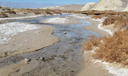
- The creek which runs along Oak Canyon during the winter and spring.
- Follow the canyon north to get to the waterfall.
- Looking up Oak Canyon to where it runs north past Highway 52.
Who Oak Canyon Is For:
Novice Hikers: Hiking Oak Canyon is a perfect trail for beginner hikers. The elevation is relatively flat with little elevation gain throughout the hike. Trees along the trail offer a great break from the relentless sunshine.
Advanced Hikers: This category of hikers will find this trial very easy and will be longing to hike up to the nearby Fortuna Peaks. Give this hike a try during the late winter and early spring to get the most scenic views of the trail.
Expert Hikers: If you’re limited on time and want to enjoy some spring colors, this is a great trail. If you’re looking for something more difficult, attempt the Five Peak Challenge in one day which includes Oak Canyon along the route.
It’s always a good idea to be aware of what type of hiking level you’re at.
Best Time Of Year To Hike Oak Cayon:
The best time to take advantage of this trial is during the late winter and early spring when rains fill the creek. The winter rains are enough to sprout wildflowers and turn the hills green. However, this greenery is short-lived and only lasts for a few months at most. The canyon does get enough water to allow regional trees to grow. During the summer this trail can be a nice option if one is really wanting to get outside before it gets too hot. Some of the trees in the canyon do produce fall foliage.
Avoid this hike on exceptionally hot days during the summer and during the middle of the day. The trial is short enough that the dawn or dusk hours before the temperature got too hot would still make this hike doable.
It’s alwyas a good idea to check the weather before going out on a hike.
Oak Canyon Trail Conditions:
This trail is very well maintained by the County of San Diego and local volunteers. Most of the trial is made up of loose soil. The trail along the canyon is lined with grante rocks typical to Southern California creekbeds. Rattlesnakes are common. There can be poison oak in the canyon at the base of trees where its shady and water is more plentiful. It’s best to stick to the trail or know what the plant looks like to avoid coming in contact with it.
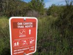
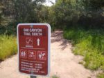
The trail into Oak Canyon begins just after the Old Mission Dam and is clearly marked with signs. There is a well constructed bridge that leads over the San Diego River to the other side of the gorge. Follow the trial to the north and stick to the higher banks of the creek on the clearly defined trail. About halfway through the canyon the trail intersects and follows along the perimeter of the grasslands loop. This portion of the trail is clearly marked by a wooden fence. Any watercrossings have footbridges.
Shortly past the Grasslands Loop the trail is intersected by a utility road for the SDGE powerlines that run through the park. For those that are more ambitious they can follow this road up out of the valley to the Fortuna Peaks. Otherwise, keep following the signs for Oak Canyon North. The waterfall is near where Highway 52 runs above the trail.

