Cowles Mountain Via Golfcrest Drive Trail
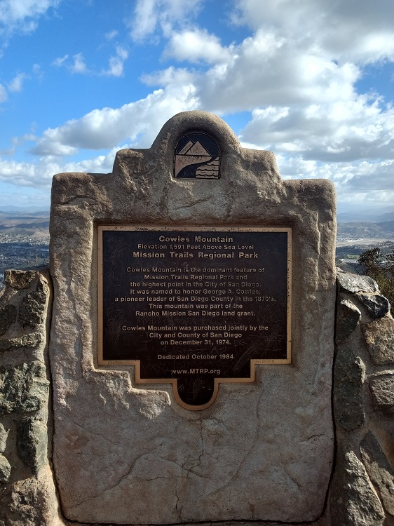
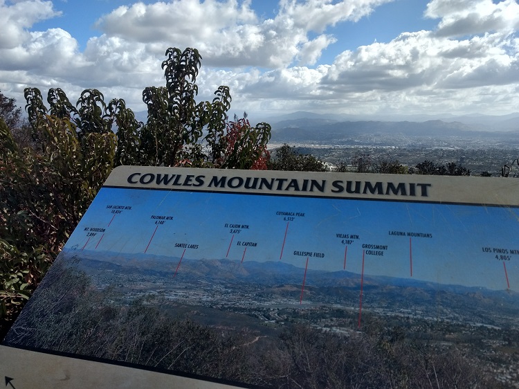
Cowles Mountain is a very heavily trafficked trail in San Diego located within Mission Trails Regional Park. The peak was named after an early ranching pioneer who settled El Cajon in 1877 by the name of George A. Cowles. A little known fun fact is that most people pronounces this peak wrong. The correct pronunciation is actual like the word coal. The peak of Cowles Mountain is the tallest peak within the San Diego City limit at 1,593 feet.
There are a few different ways to get to the peak of Cowles Mountain but for the sake of this article, I’ll be focusing on the Golfcrest Drive trail head. Cowles Mountain has become incredibly popular over the years. The views and accessibility to the peak make this a great hike for those new to San Diego, visiting the area, or those new to hiking. The trail is also popular for people to hike during the night.
One A Personal Note:
I personally think the views of this hike are great for how close to the city this trail is. However, because of the ease of accessibility, it’s my personal opinion that Cowles Mountain is ridiculously overcrowded. There’s also a large amount of inconsiderate people filling the air with whatever music they’re listening to on their speakers.
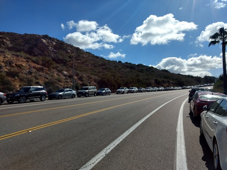
The crowds have unfortunately also become an opportunity for the scum of the earth to prey on all the parked vehicles in the area. The parking lot and Golfcrest Street is littered with broken car glass from those whose cars have been broken into. Make sure you keep all important things out of view or better yet, take them with you or leave them at home.Despite the negatives, Cowles Mountain is still a fun hike to do.
Looking for a more challenging trail to hike? Try the North or South Fortuna peaks in Mission Trails Regionali Park.
Have you recently done this hike? Please post your photos in or leave an update to the trail conditions in the comments section.
- Overall Difficulty: 60%
- Overall Views: 55%
Cowles Mountain via Golfcrest Drive Quick Facts:
- Estimated Distance: 2.9 miles.
- Elevation gain: 912 feet.
- Estimated Time: 1.5 hours.
- My time: 45 minutes.
Cowles Mountain via Golfcrest Drive Directions:
Cowles Mountain Pictures:
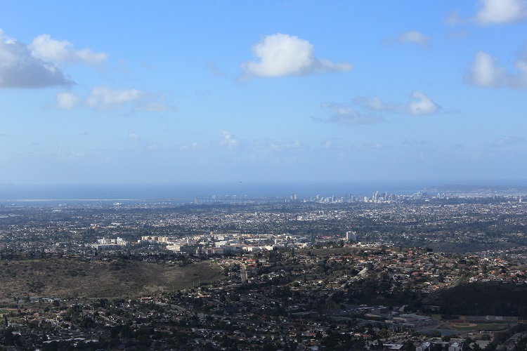
- The views to the west.
- Downtown San Diego.
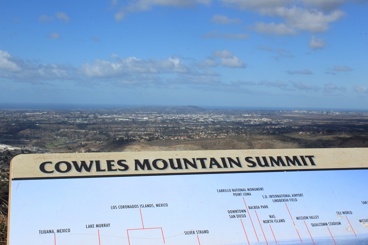
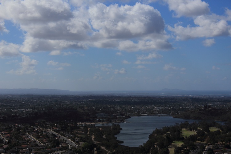
- Lake Murray, Mexico, and the Coronado Islands.
- The views to the East.
- The monument on the top of Cowles Mountain.
- Parking can be ridiculous.
Who Cowles Mountain via Golfcrest Drive Is For:
Advanced Hikers: This hike will be easy.
Expert Hikers: When does the hike start?
It’s always a good idea to be aware of what type of hiking level you’re at.
Best Time Of Year To Hike Cowles Mountain:
Always be prepared by checking the weather conditions before a hike.

