Hiking Navajo Loop and Queen’s Garden Trail
Bryce Canyon is a beautiful national park on the southwestern corner of Utah. Despite the name, Bryce Canyon isn’t actually much of a canyon at all. The area is a collection of natural and prominent amphitheaters. Bryce is one of the most remarkable and unique looking amphitheaters. The canyon itself extends for more than twenty miles with Bryce amphitheater being twelve miles long.
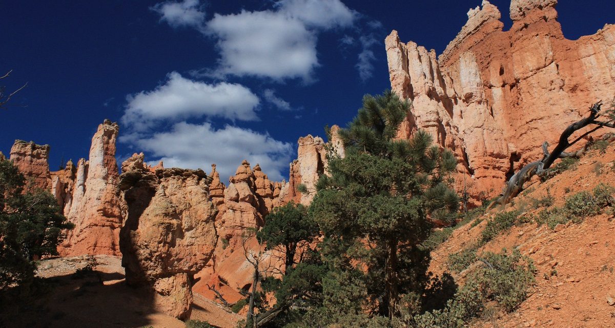
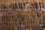
Bryce is unique in that it has interesting geological structures called hoodoos. These structures are tall, cylindrical sedimentary rock formations that have been eroded by frost, weathering, streams, and rivers. The erosion over time has exposed different layers of sedimentary rock resulting in vibrant red, orange, and white colors. Throughout different times of the day, the sun can make for some amazing colors and shadows throughout the canyon.
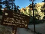
If you only have one day to spend in Bryce Canyon and would like to do a short hike, the Queens Garden and Navajo Loop takes you through some of the park’s main features. That being said, it’s no secret that this short hike will allow people a lovely experience, so it is heavily trafficked. Despite that, I still highly recommend it. The trail is a short loop trail and has several prominent features along the way. Visitors can start at either two of the park’s popular points, Sunset and Sunrise Point to begin the trail.
On A Personal Note:
When I first started writing this post I thought that this trail would be a good recommendation for those short on time. On second thought, I’d like to recommend this trail to all visitors regardless of time. This loop has some of Bryce Canyon’s main geological features and is a great way to take in some of the popular structures. When I visited Bryce Canyon it was me and my wife’s first time there and we were limited to about half of a day. This trail allowed us to take in popular views that left us hungry for another visit. For those with more time, this trail connects with others like the Peekaboo Loop trail to make for a longer route.
Do you have any updates to the hiking trail or want to share your hike/pictures? Please leave a comment below.
- Overall Difficulty: 50%
- Overall Views: 100%
Navajo Loop and Queen's Garden Trail Quick Facts:
- Elevation: 8,038 feet.
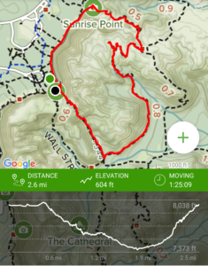
- Elevation Gain: 604 feet.
- Estimated Distance: 2.9 miles.
- My Actual Distance: 2.6 miles
- Estimated Time: 1-2 hours.
- My Time: 1 hour 25 minutes (moving), 1 hour 33 minutes total.
Navajo Loop and Queen's Garden Trail Directions:
There is a lodge that lies between both Sunrise and Sunset Point that serves as a mecca for this area. Parking is limited throughout the park. During busy times the park uses a shuttle system to help visitors get from one point to another. The parking for the shuttles is across the street from the visitor center.
As the day got later, I found that the park became increasingly empty during dusk. The exception to this rule would be Sunset Point where crowds flock to watch the sun set over the western edge of the park. If you’re keen you’ll set up shop elsewhere facing east and watch the shadows that are cast over the entire amphitheater and avoid the crowds.
Navajo Loop and Queens Garden Trail Pictures:
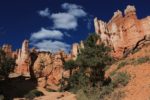
- The view from the top of Bryce amphitheater.
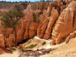
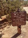
- Headed down from Sunrise Point and into Queens Garden. Queens Garden is known for a hoodo that resembles Queen Victoria and her
- The Queen’s Garden is known for its hoodoos that resemble Queen Victoria and her court.
- Queen’s Garden.
- Headed down from Queen’s Garden towards Navajo Loop.
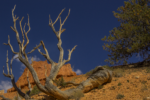
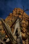
- The trail has some unique trees along the way.
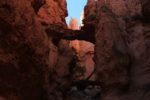
- The two bridges – another landmark along Navajo Loop.
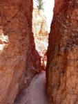
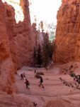
- Headed up out of Navajo Loop along several series of switchbacks known as Wall Street.
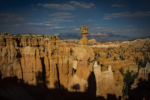
- My favorite landmark: Thor’s Hammer.
- Hoodoos galore.
Who Navajo Loop and Queen's Garden Trail Is For:
Advanced Hikers: This will be a short but rewarding hike. If there is ice along the trail, consider bringing along some gear that will help with traction.
Expert Hikers: What expert hikers my find disappointing about this trail is the lack of difficulty and length. The ease of the trail is easily made up for by the beauty of it though.
It’s always a good idea to be aware of what type of hiking level you’re at.
Best Time Of Year To Hike Navajo Loop and Queen's Garden Trail:
Winter is the park’s coldest time of year. If you’re not into hiking in the snow or dealing with ice on the trail, then you might want to plan a trip around storms or avoid this time of year. Starting in mid-fall to mid-spring, temperatures fall below freezing every night.
The beginning of Spring still has winter like conditions. However, as summer draws closer, the winter storm track eases up and temperatures will moderate. The closer to summer, the less odds of having freezing temperatures but nights will still be cold.
Summer is the park’s rainiest season. Monsoonal moisture in the later summer months can bring heavy and unpredictable rainstorms and the threat of lightning. If you hear thunder, see lightning, or think there may be a threat, seek shelter immediately. Don’t let the rain or thunder scare you off though. Summer is a beautiful time in the park. Evening temperatures are mild but cool at times. Day time temperatures can be toasty though.
As summer fades into fall temperatures start to cool and the monsoon season comes to an end. By mid fall there can be early snowfall and nights are back to being downright chilly. As always, plan accordingly and be aware of the weather forecast when spending any time outside.
It’s always a good idea to check the weather before heading out on a hike.
Navajo Loop and Queen's Garden Trail Conditions:
Because of the views that this trail offers and the ease of access, this trail is quite popular. The trail also serves as a mecca because it’s both points are located near the lodge. For the purpose of this article, I’ll be talking about this trail from the direction that the National Park Service Recommends from Sunrise Point.
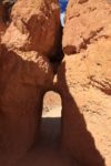
The trail begins at Sunrise Point – a popular destination for visitors to watch the sun come up and light up the Bryce Amphitheater. The trail goes down a mild descent featuring spectacular hoodoos, the view of Bryce Amphitheatre, and sedimentary walls with beautiful features like natural carved out windows.
Queen’s Garden
As the trail goes down you eventually end up at Queen’s Garden. This location is made popular by a hoodoo that, if you use your imagination, resembles Queen Victoria on her throne surrounded by her court of hoodoos. Along the way through the garden there are a few holes in the walls of the hoodoos that the trail winds through.
After the Queen’s Garden, the trail leads down into the heart of the amphitheater. If the sun is at a low angle, the hoodoos will make for amazing shadows where this part of the trail lies. When the trail begins to wind up to Sunset Point, you’ll be greeted with more of this trail’s famous landmarks.
Wall Street
One of these landmarks is known as Wall Street. This “wall” is a portion of the trail that switchbacks up to the top and is surrounded by walls of hoodoos. At the bottom of Wall Street, keep an eye out for the double bridges – two natural bridges carved out of the rock. As the trail makes its way up through Wall Street, a look to the right will reveal one of Bryce’s most popular hoodoos: Thor’s Hammer. Thor’s Hammer is the top of a hoodoo that resembles a hammer like rock so significant that only Thor would be able to handle.
Once the trail winds back up to the top of Sunset Point, you can continue on to where you started to complete the loop. Another option would be to catch a shuttle to the next destination.
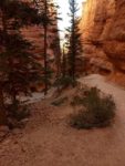
Vegetation is pretty sparse along this trail with the exception of some conifers and small shrubs. This national park is out of the range of poison oak but poison ivy is found in Bryce Canyon in some areas. Rattlesnakes are found throughout the park.

